Nakaniikawa District, Toyama
Appearance
You can help expand this article with text translated from the corresponding article in Japanese. (April 2023) Click [show] for important translation instructions.
|

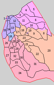
* yellow - areas formerly within the district borders during the early Meiji period
* green - current borders
- Funahashi-mura
- Kamiichi-machi
- Tateyama-machi

Nakaniikawa (中新川郡, Nakaniikawa-gun) is a district located in Toyama Prefecture, Japan.
As of October 1, 2016, the district has an estimated population of 49,839 with a density of 91 persons per km2. The total area is 547.55 km2.
Municipalities
[edit]The district consists of two towns and one village:
- Notes
History
[edit]District Timeline
[edit]- April 1, 1896 - Nakaniikawa District was created from a split within Kaminiikawa District, grouped by 5 towns and 29 villages.
